![]()
|
|
| PHOTOS: Charlotte, Part 3 (1364969) | |||
|
|
|||
| Home > SubChat | |||
|
[ Read Responses | Post a New Response | Return to the Index ] |
|
||
PHOTOS: Charlotte, Part 3 |
|
|
Posted by milantram on Tue Sep 1 21:52:48 2015 In Part 2, I covered the action around Trade Street and the CTC/Arena. Now, we're going to take a "ride" out, beginning at Trade and Caldwell and continuing to Central Piedmont Community College (CPCC), the line's major trip generator.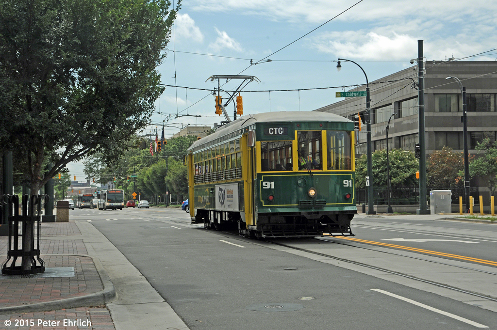 At Caldwell, the turnout and overhead for the connection loop-around the Arena between Trade Street and Lynx is visible. 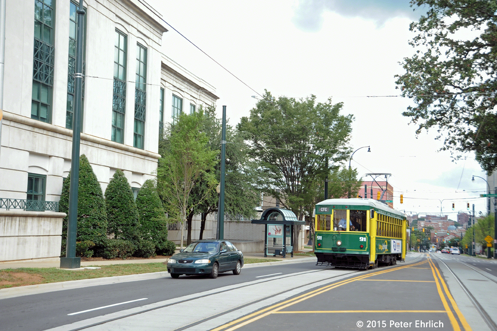 The tracks separate here for the island stop at Davidson. The white building on the left is the Charlotte-Mecklenberg Police Department. Generally, this is an area of government offices. 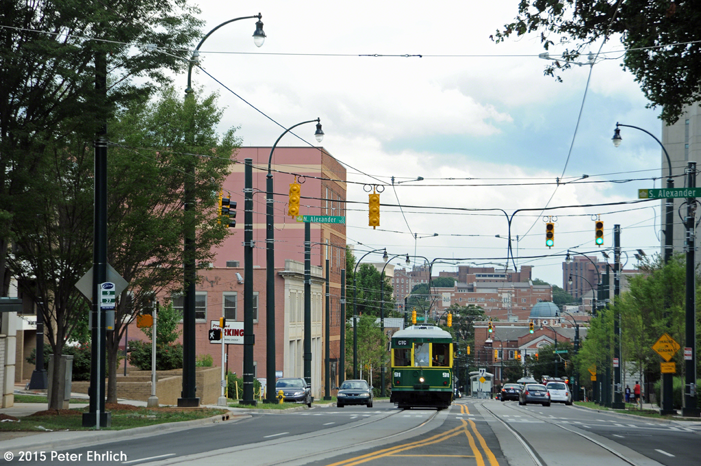 At Alexander. The line climbs and descends a number of hills. McDowell, another island stop, is in the background. 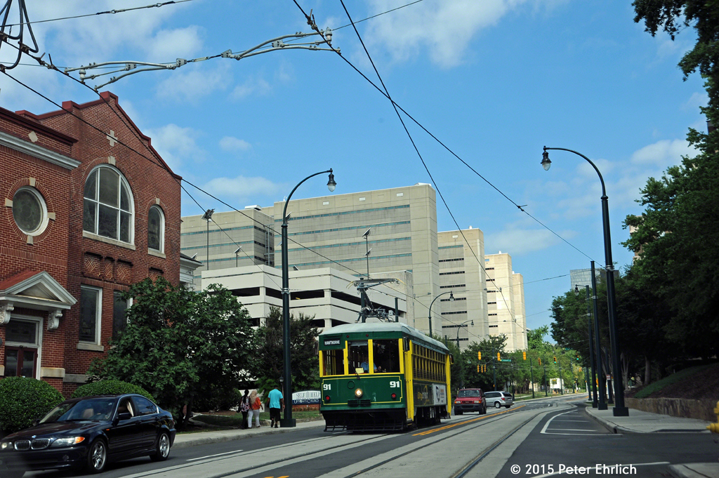 McDowell outbound. The monolithic structure behind is the Jail. 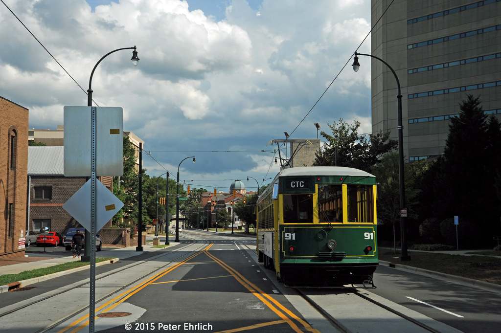 McDowell outbound. The domed building is Uptown Church (non-denominational). 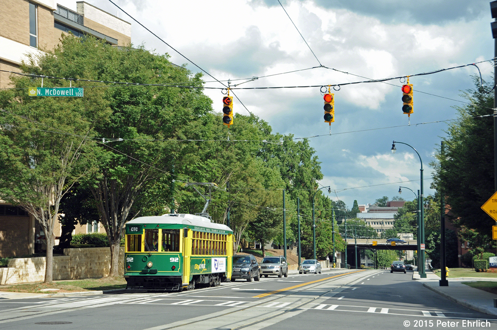 McDowell inbound. US 74 freeway is behind. This is actually the dividing point where Trade Street ends and Elizabeth Avenue begins. 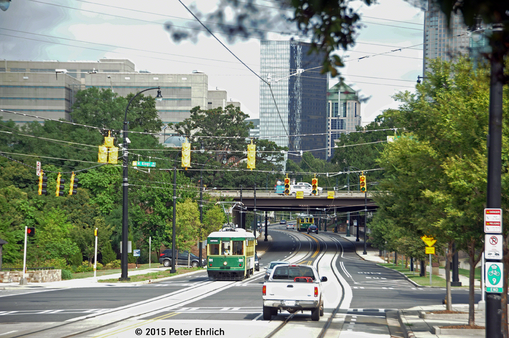 The two cars passed each other under the freeway. 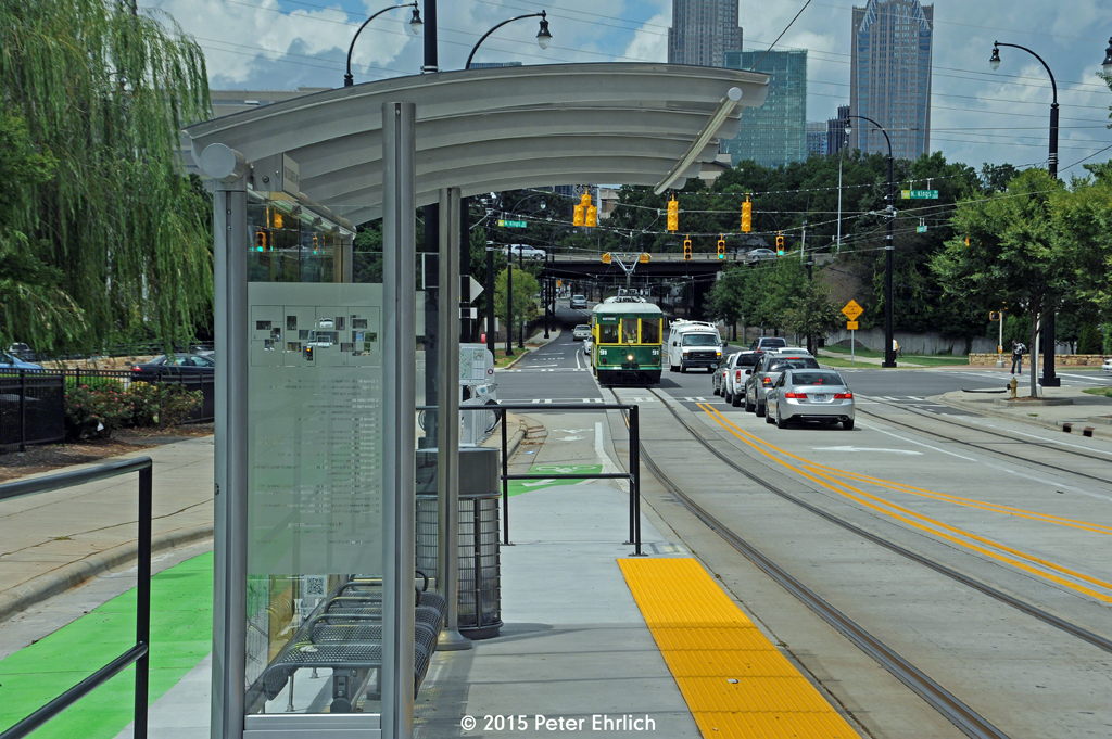 Looking toward Kings Drive through the outbound CPCC shelter. 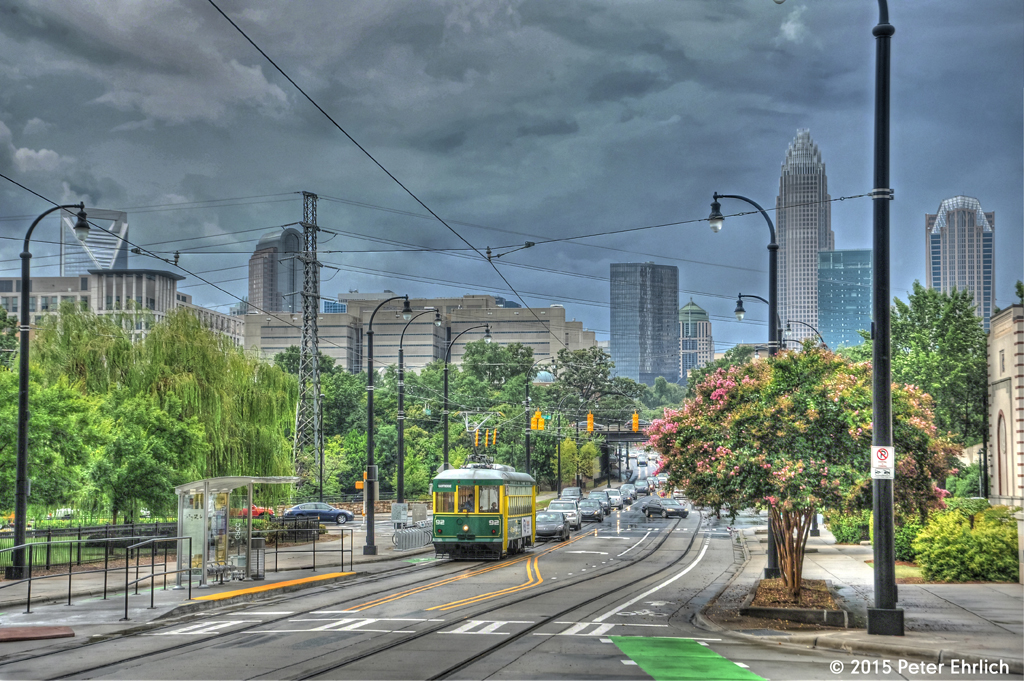 HDR image. The Bank of America Building, with its "bird's nest" top, is on the right; Duke Energy Center is visible at the extreme left. 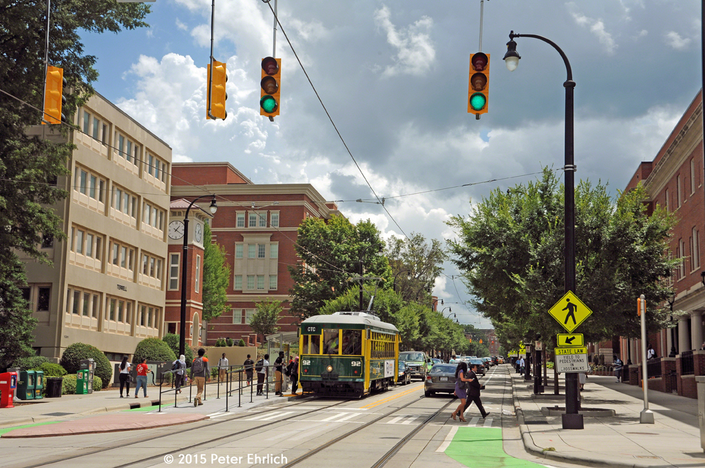 92 is picking up passengers at CPCC. 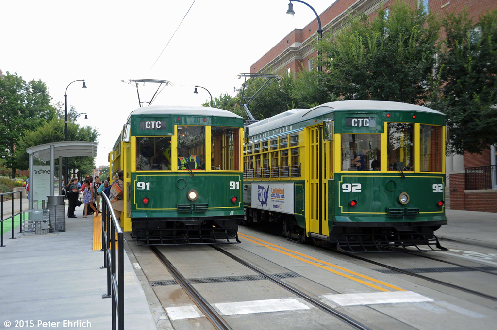 A meet! All of these photos were taken August 19, 20 and 21, 2015. Hope you enjoyed this set! Comments welcome. Part 4: From Elizabeth and Charlottetowne (the center of CPCC) to the outer terminal. |