![]()
|
|
| WMATA: DCMP Aerial photographs of Tysons Corner (1154911) | |||
|
|
|||
| Home > SubChat | |||
|
[ Read Responses | Post a New Response | Return to the Index ] |
|
||
WMATA: DCMP Aerial photographs of Tysons Corner |
|
|
Posted by Sand Box John on Sun May 6 12:09:57 2012 Some aerial photographs shot by Trevor Wrayton at VDOT on 04 11 2012. Lifted from VDOT Flicker Photostream. These pictures were taken 4 day before the pictures I took on 04 15 2012.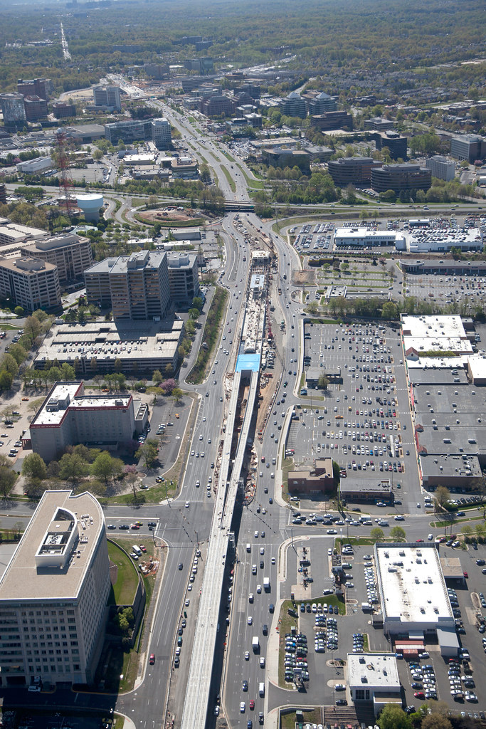 Tysons Central 7 (Greensboro) station. 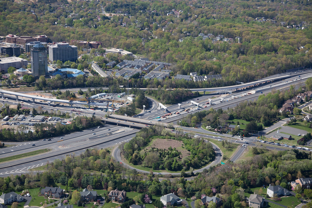 Leesburg Pike VA-7 Dulles Toll Road VA-267 interchange.  Dulles Connector Road VA-267 and Dolley Madison Boulevard VA-123. 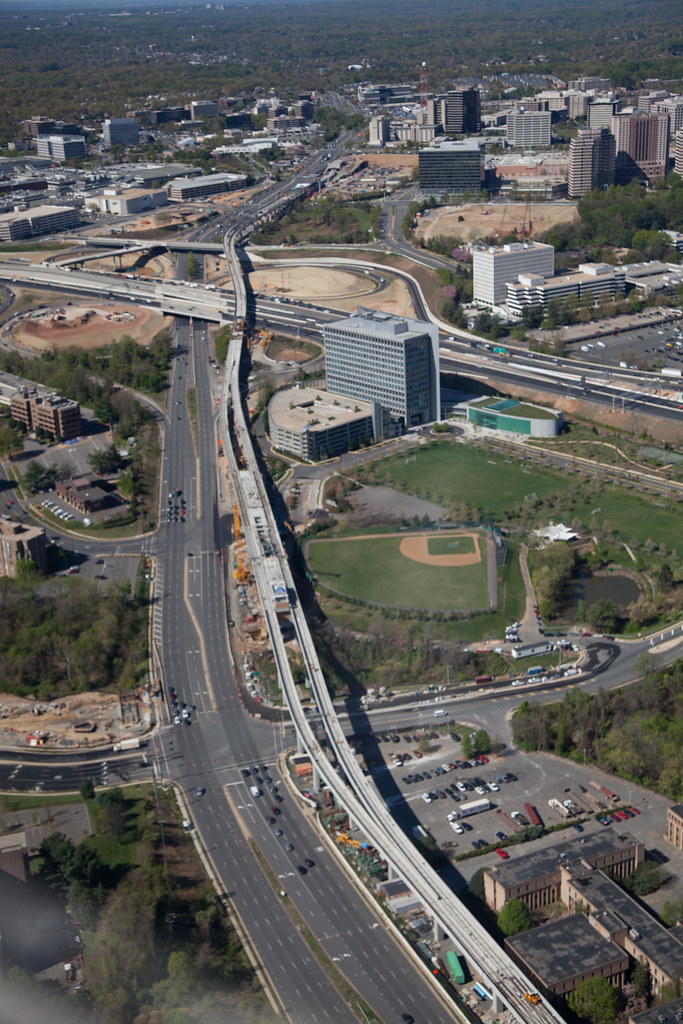 Dolley Madison Boulevard VA-123 Tysons East (McLean) station. 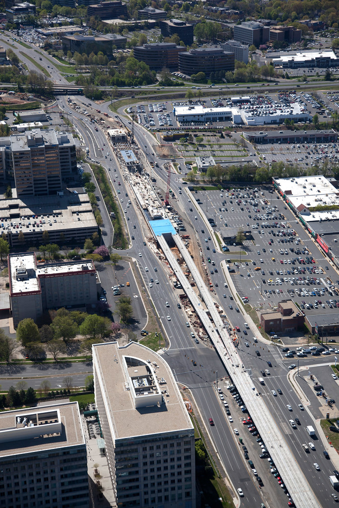 Tysons Central 7 (Greensboro) Station. 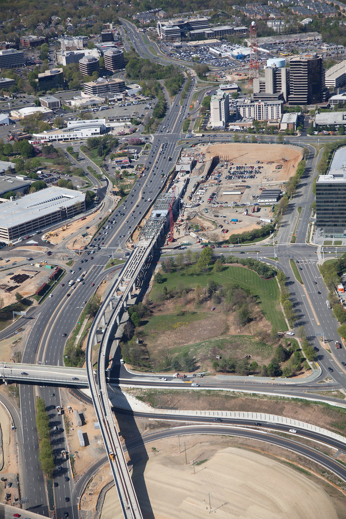 Tysons Central 123 (Tysons Corner) Station. 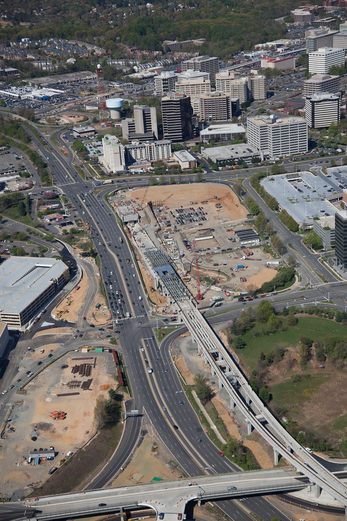 Tysons Central 123 (Tysons Corner) station. 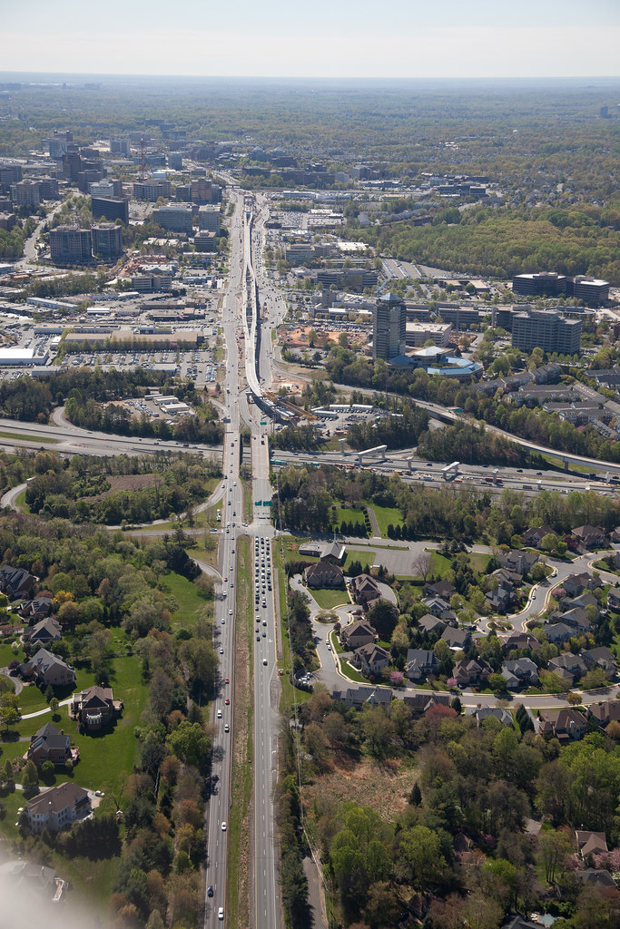 Leesburg Pike VA-7. 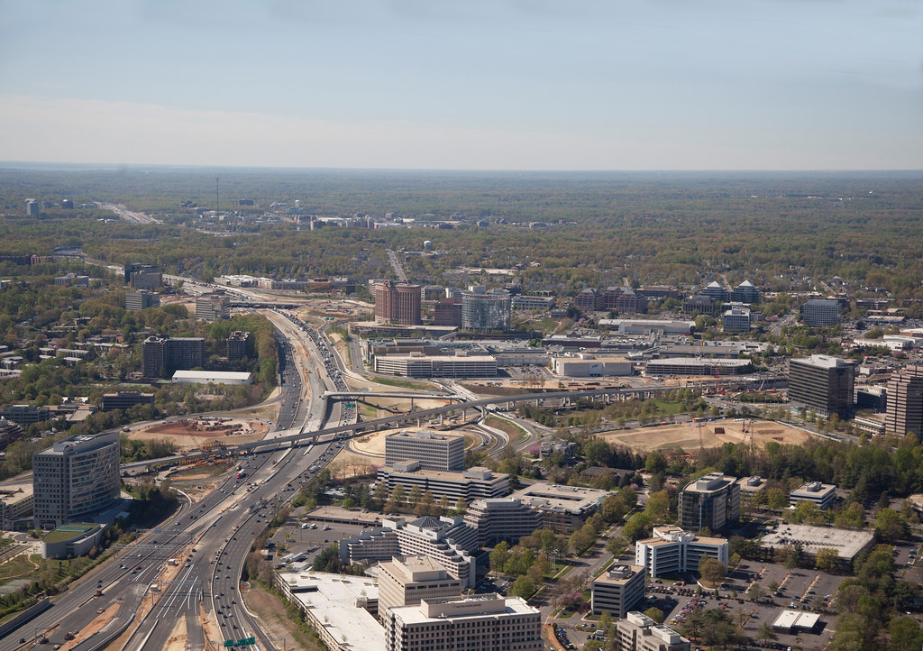 Tysons Central 123 (Tysons Corner) station, Capitol Beltway crossing. 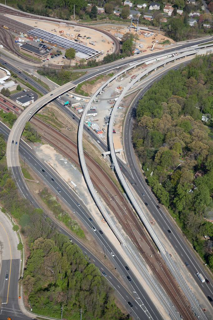 VA I-66 flyover. 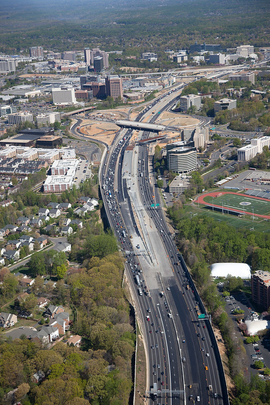 Capitol Beltway crossing and Express Lanes. 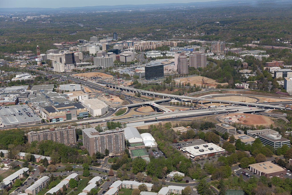 Tysons Central 123 (Tysons Corner) station, Capitol Beltway crossing. John in the sand box of Maryland's eastern shore. |